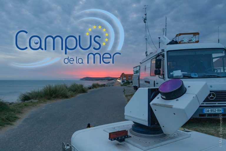
As part of the SFR Campus de la Mer and the MTE Research Pole, the LPCA participated in a measurement campaign aimed at the contributions of the coupling of RADAR, LIDAR and image analysis techniques for the characterization of the beach, the dune and the back-dune at the Bay of Wissant (Pas-de-Calais).
The Bay of Wissant, a vulnerable coastal systemThis multidisciplinary study concerns the vulnerability of the littoral by the erosion of the coastline, the dieback of vegetation, marine flooding, loss of land surface… The knowledge acquired at the end of this study will make it possible to understand the mode of operation and the evolution of these alterations in order to be able to anticipate or, if necessary, to correct the problems and thus improve risk management.
The Bay of Wissant presents a great diversity of geological and geomorphological facies. Its location and its particular coastal morphology subject it to numerous Sea Breeze phenomena which have a definite impact on air quality through the transport of emissions from maritime traffic.
In order to characterize this vulnerable coastal system, the combination of LIDAR, RADAR and image analysis data should allow us to (i) Detect and locate the different topographic sectors of the beach (coastline), (ii) Detect, the different textures of sediments and variations in soil humidity, (iii) Observe the evolution: of the coastline, variations in beach level, vegetation, etc. (iv) Analyze the evolution of local winds in relation with the coastal morphology as well as the aerosol load likely to be influenced by wind transport.
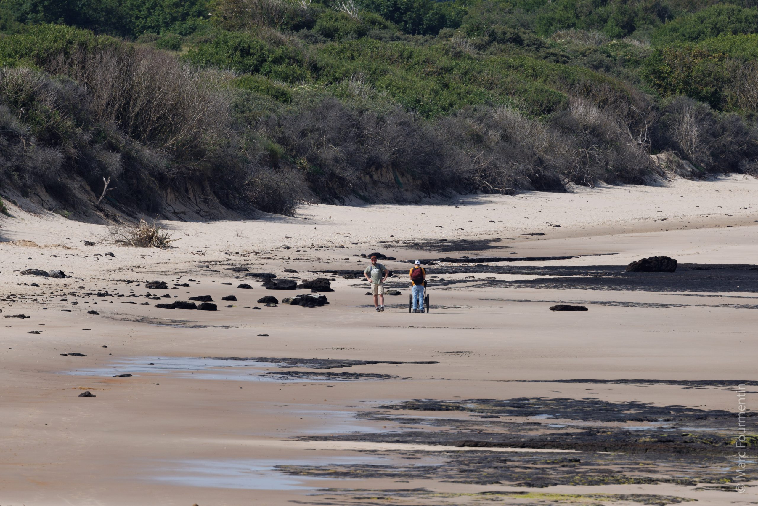
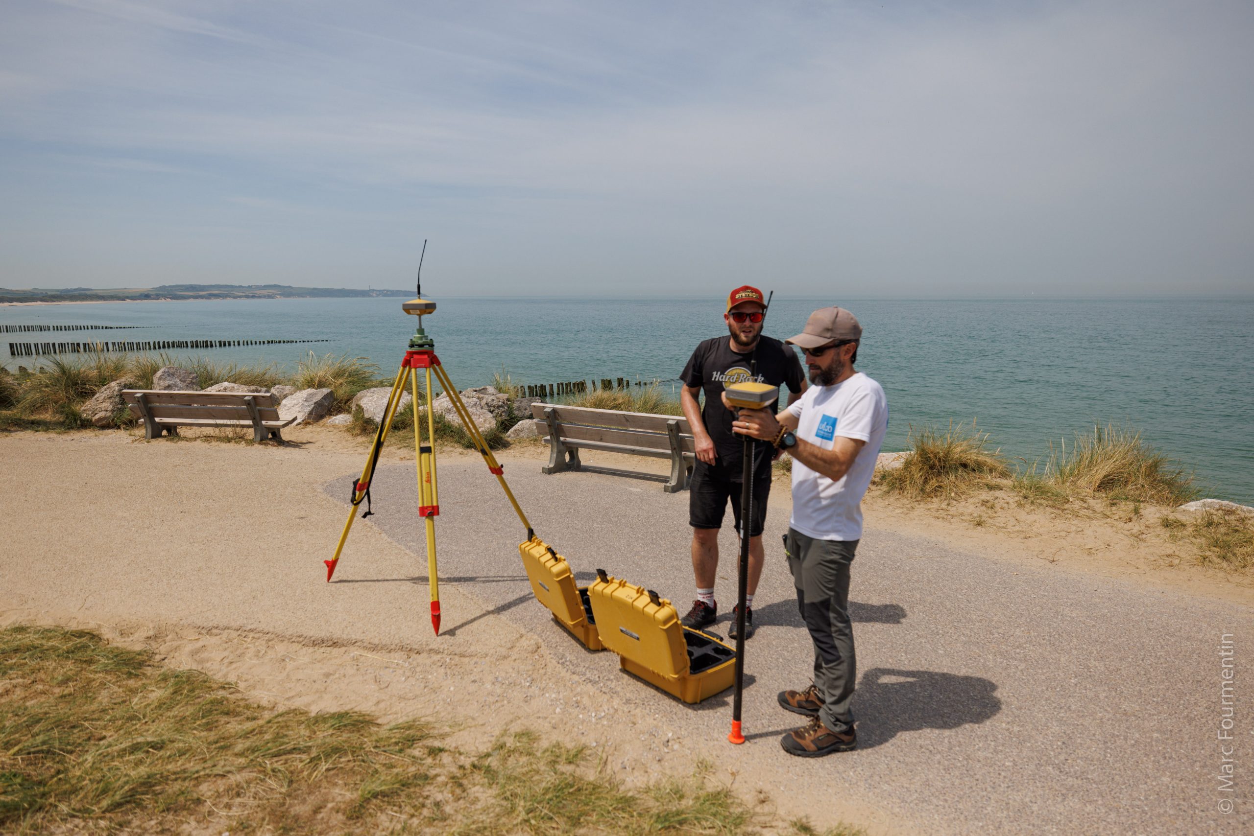
The Field Campaign in Wissant (June 16-17, 2022)
In order to achieve the targeted scientific objectives, numerous experimental devices have been deployed in the field in order to characterize: (i) the internal structure of the soil, (ii) the topography,(iii) surface conditions (vegetation cover, etc.), (iv) soil moisture content in beach, dune and back-dune areas, (v) atmospheric dynamics, ( vi) aerosol optical properties, (vii) air quality and (viii) environmental toxicology.
• Identification of the internal structure of the ground by Ground Penetrating Radar
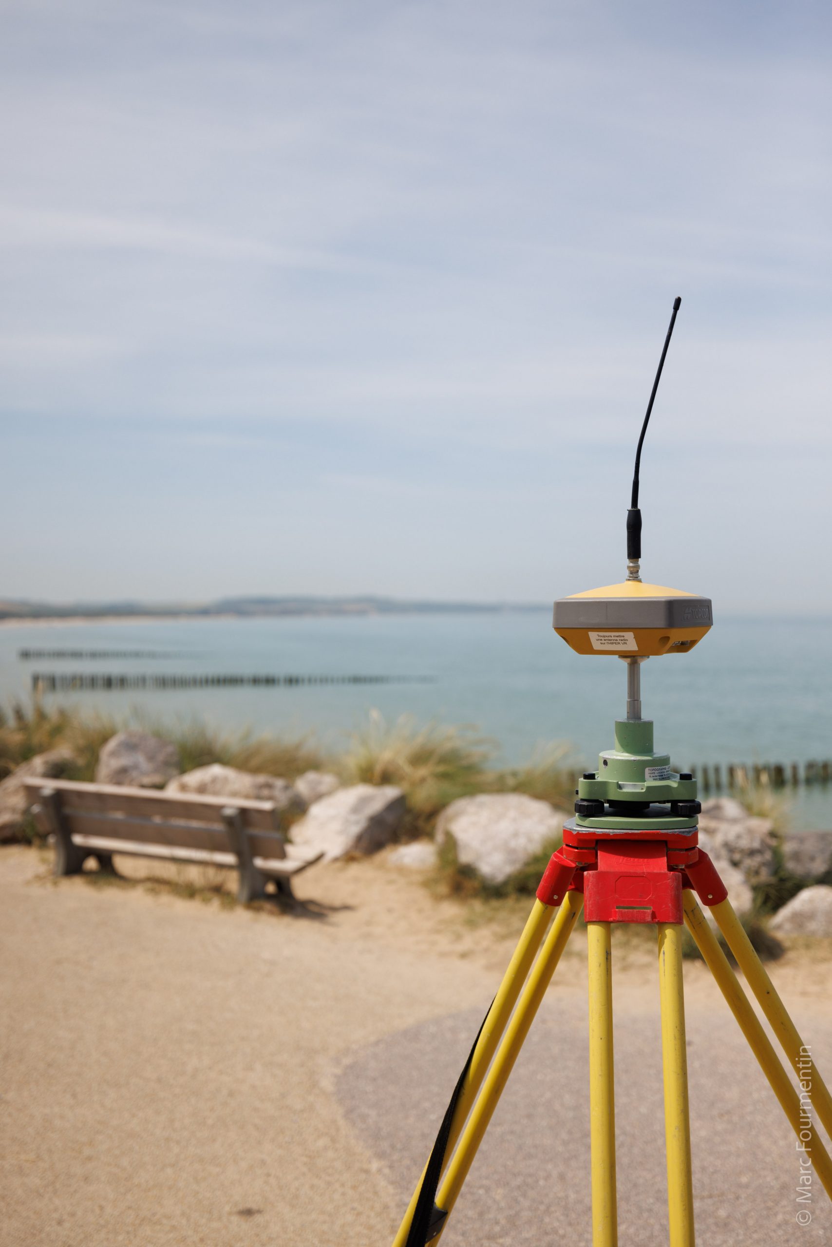
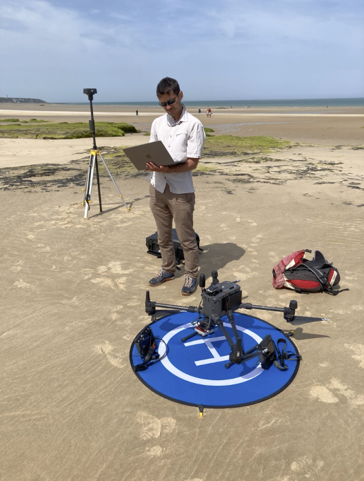
• Ground topography by differential GNSS and 3D topography modeling by drone (photogrammetry)
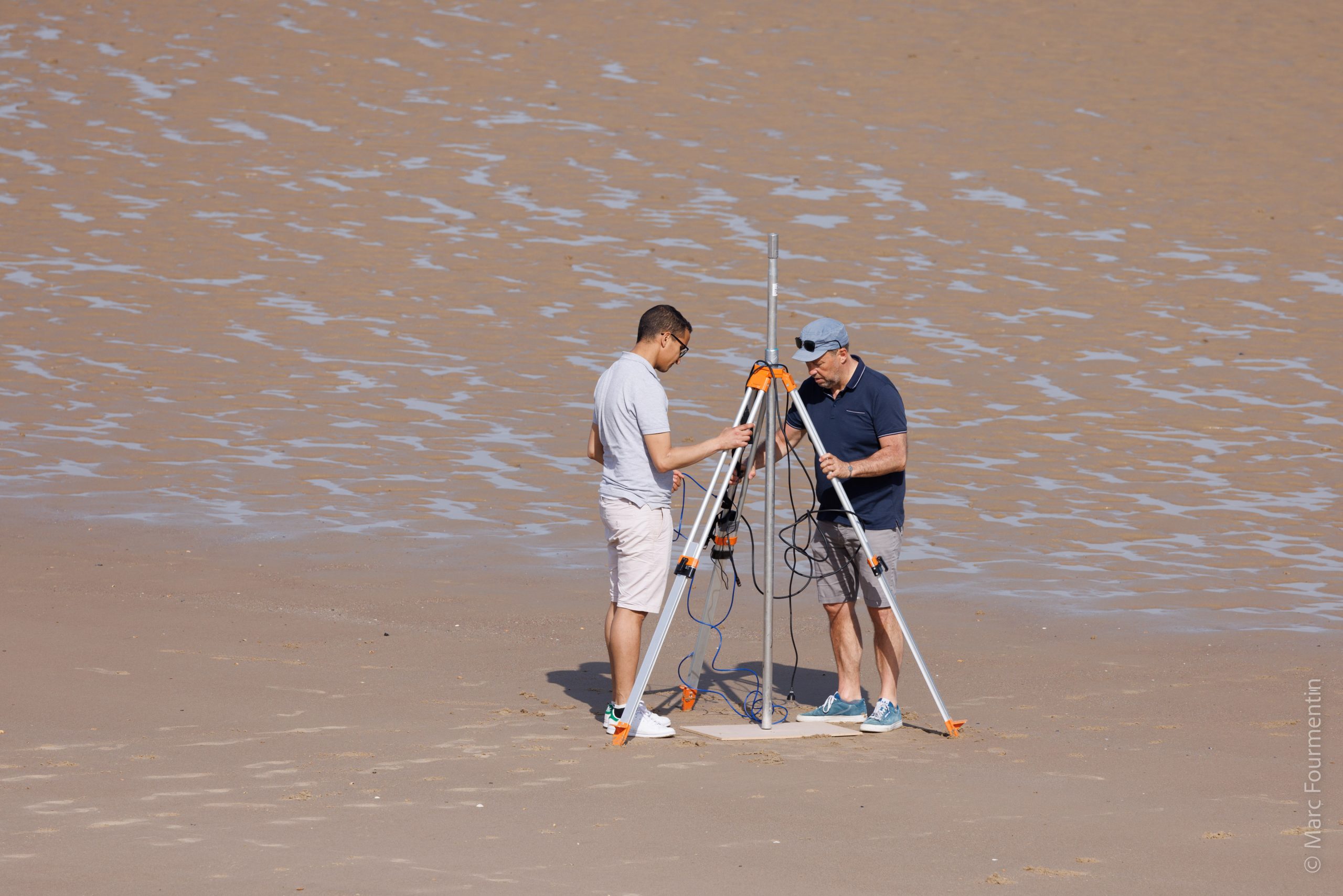
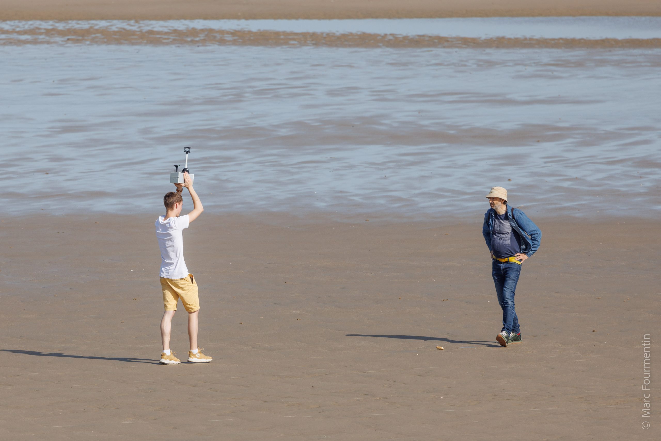
• Exploitation of data from a scanning laser rangefinder for the characterization of the beach
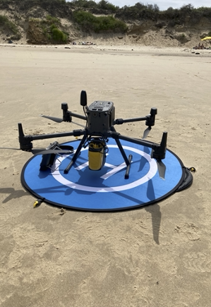
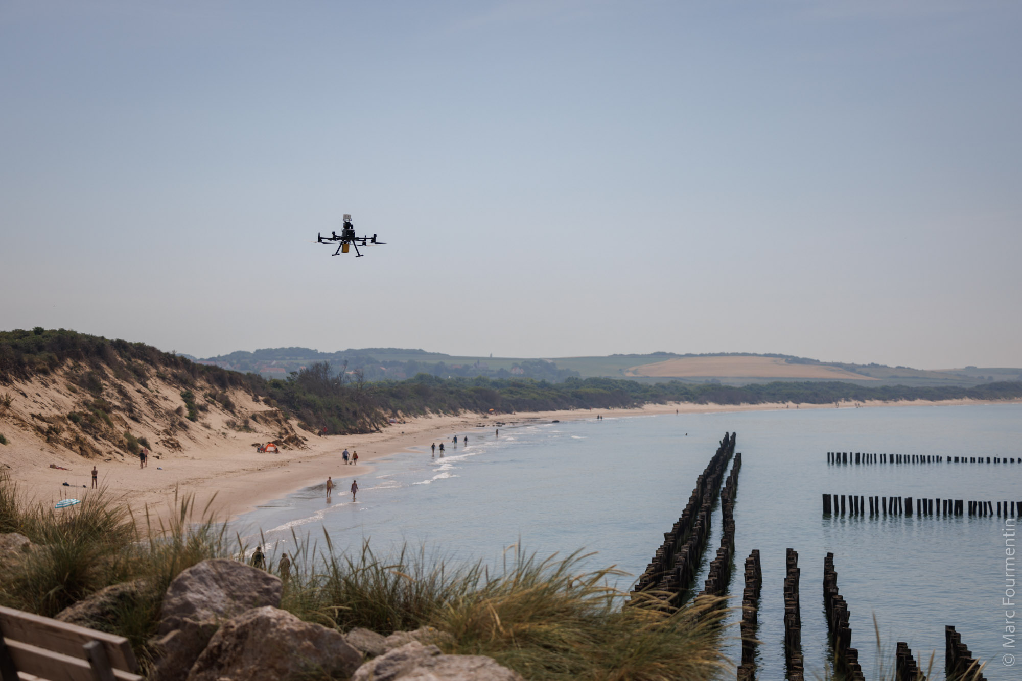
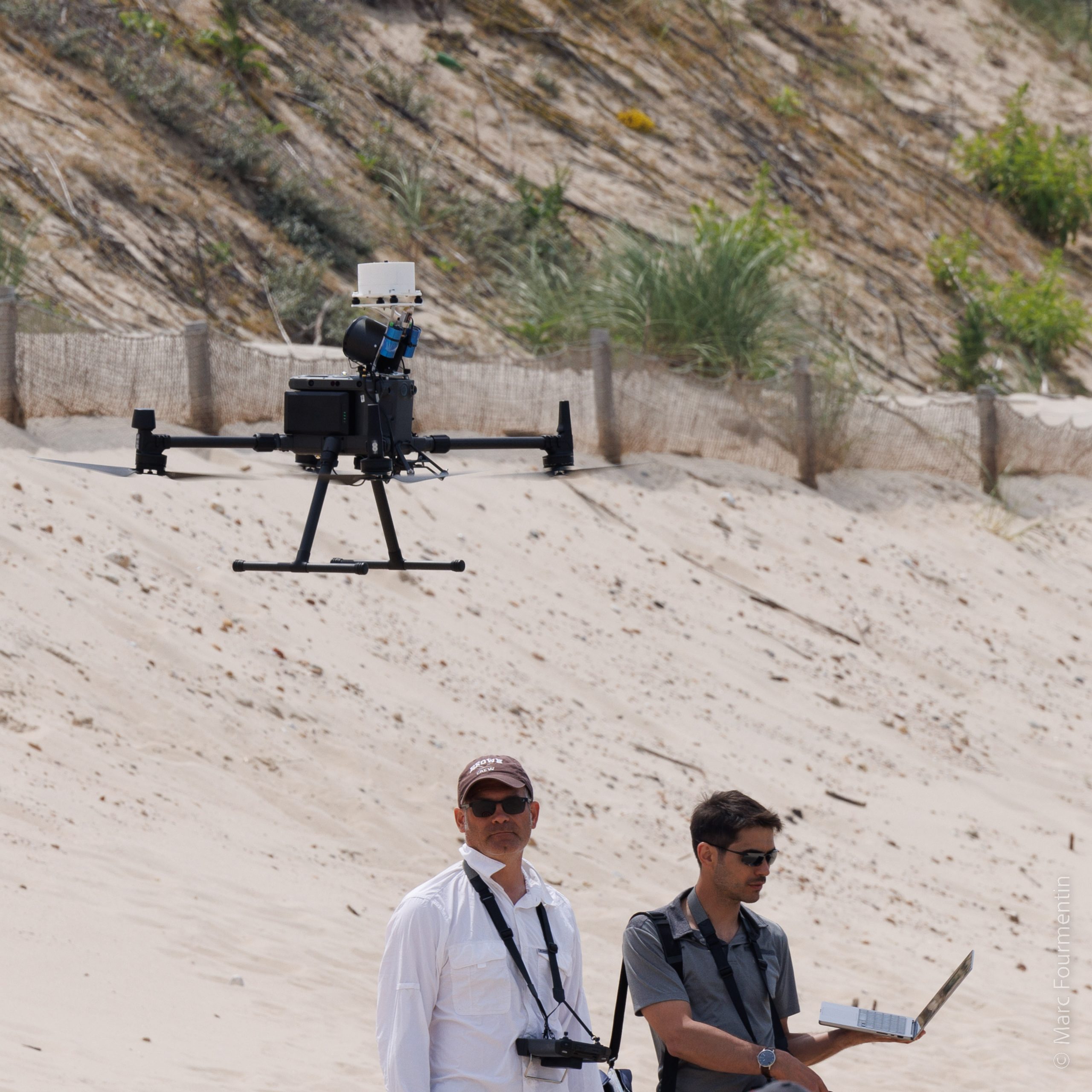
• Topography of the ground by remote sensing on board a drone (lidar)
• Mapping of surface conditions by multispectral sensors on board a drone
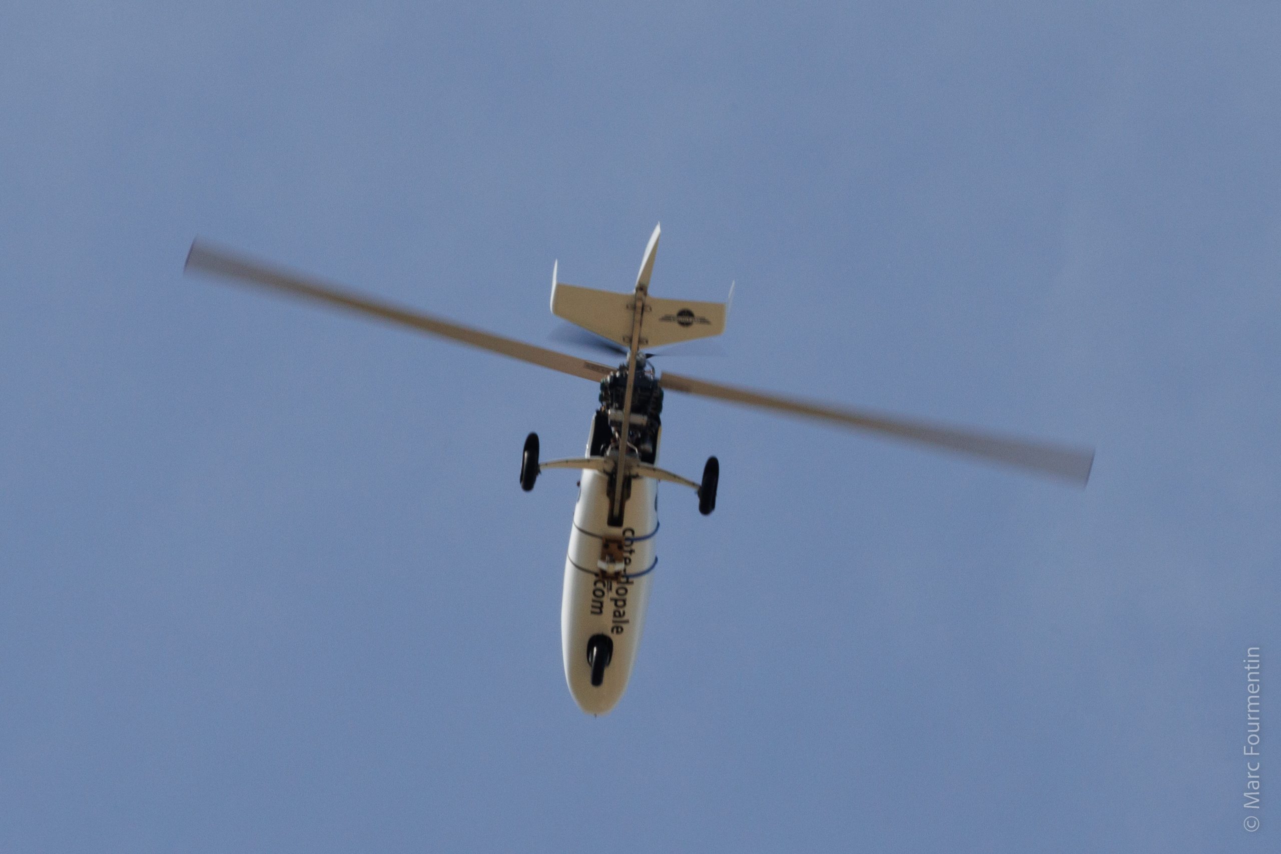
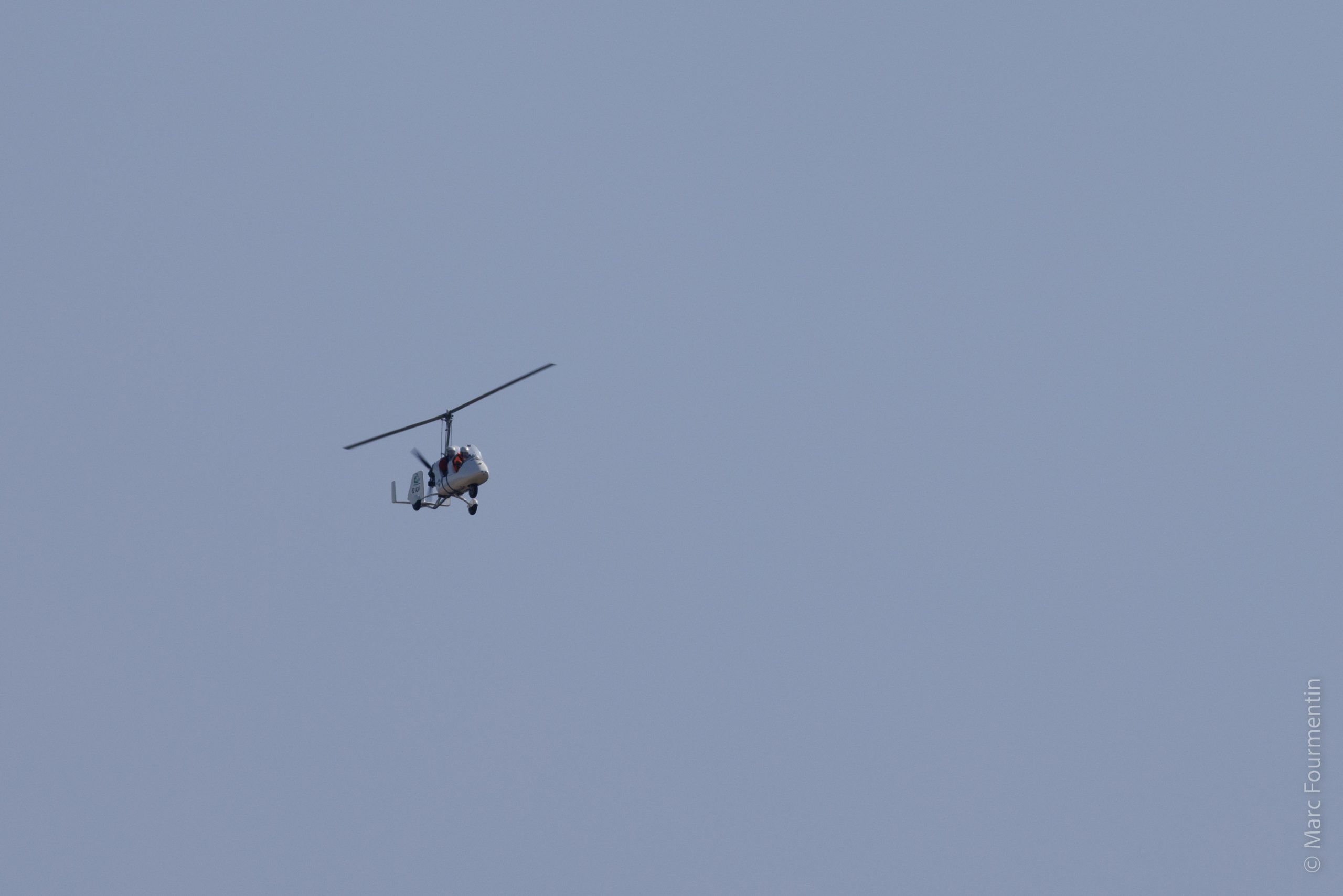
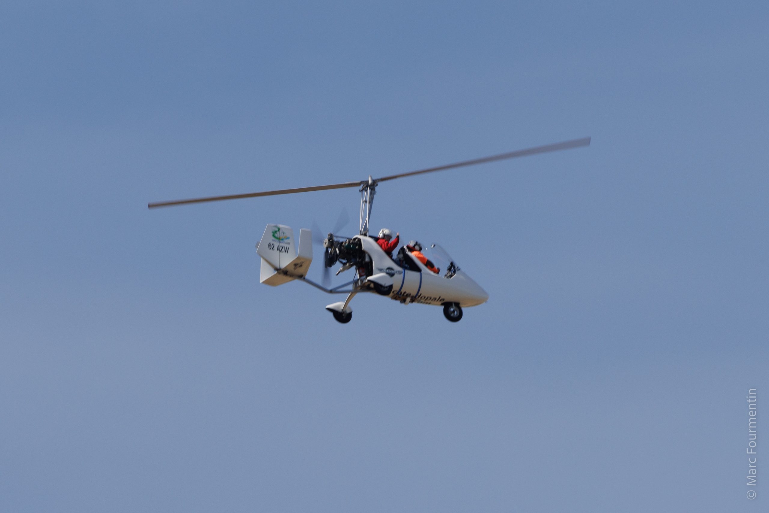
• Humidity detection by GNSS reflectometry onboard an autogyro
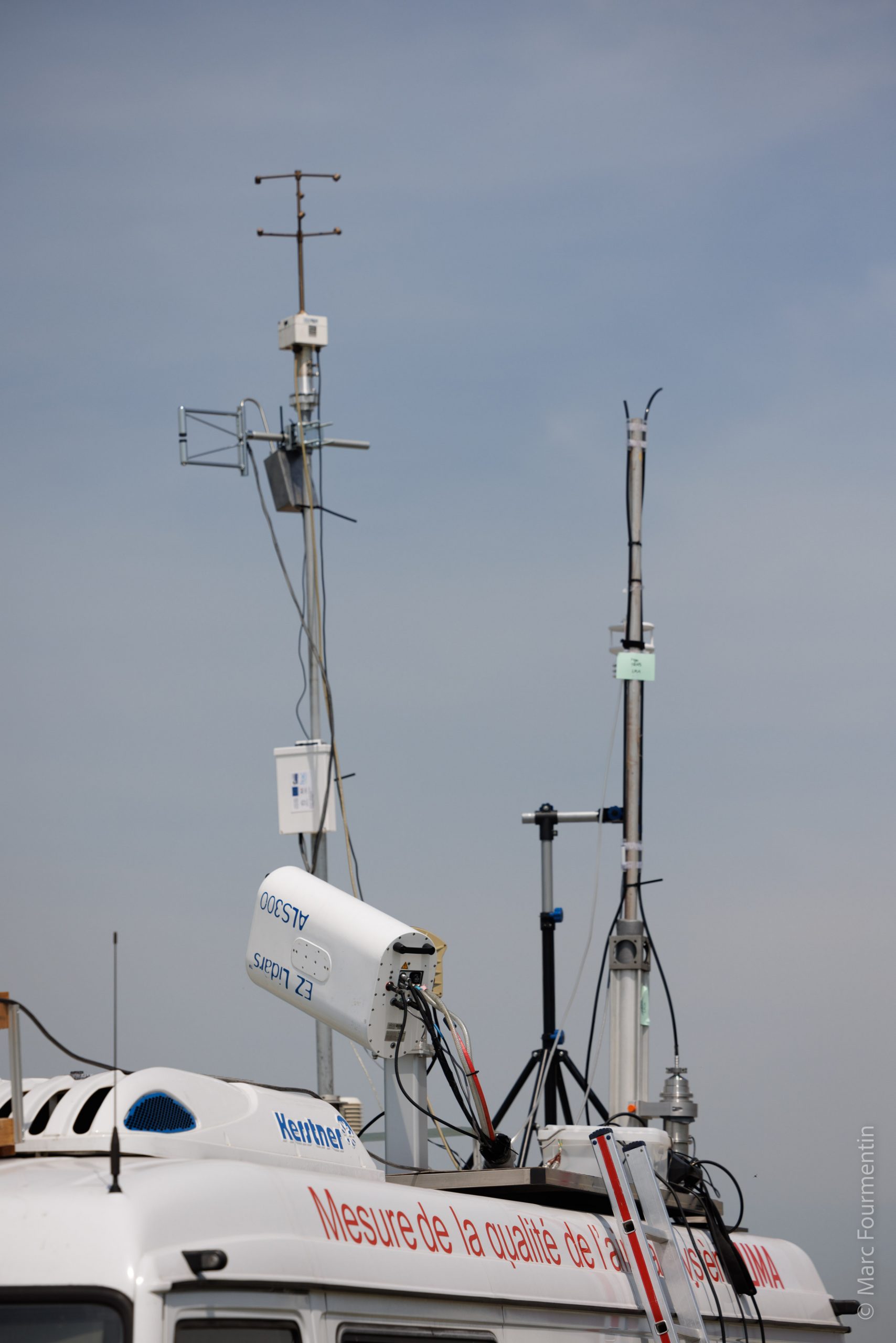
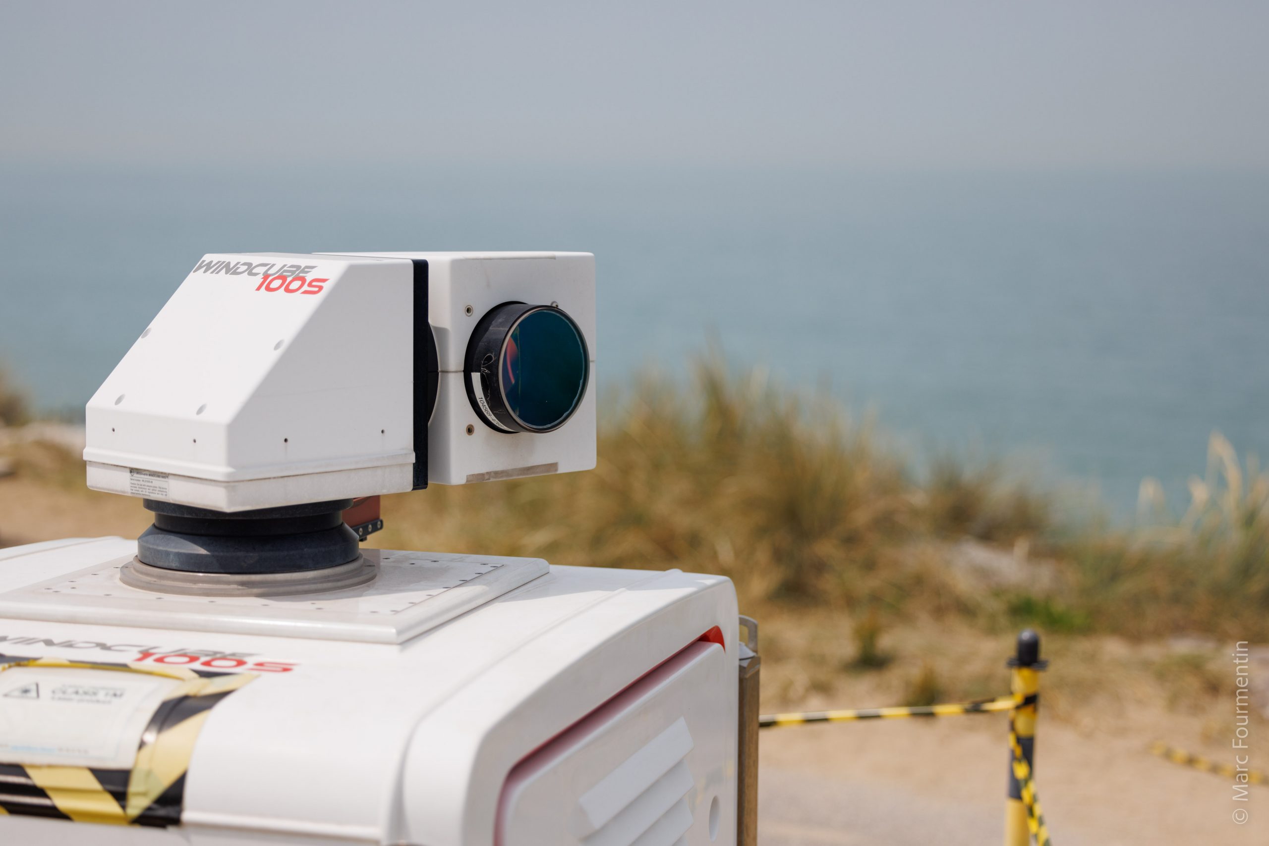
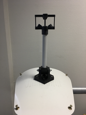
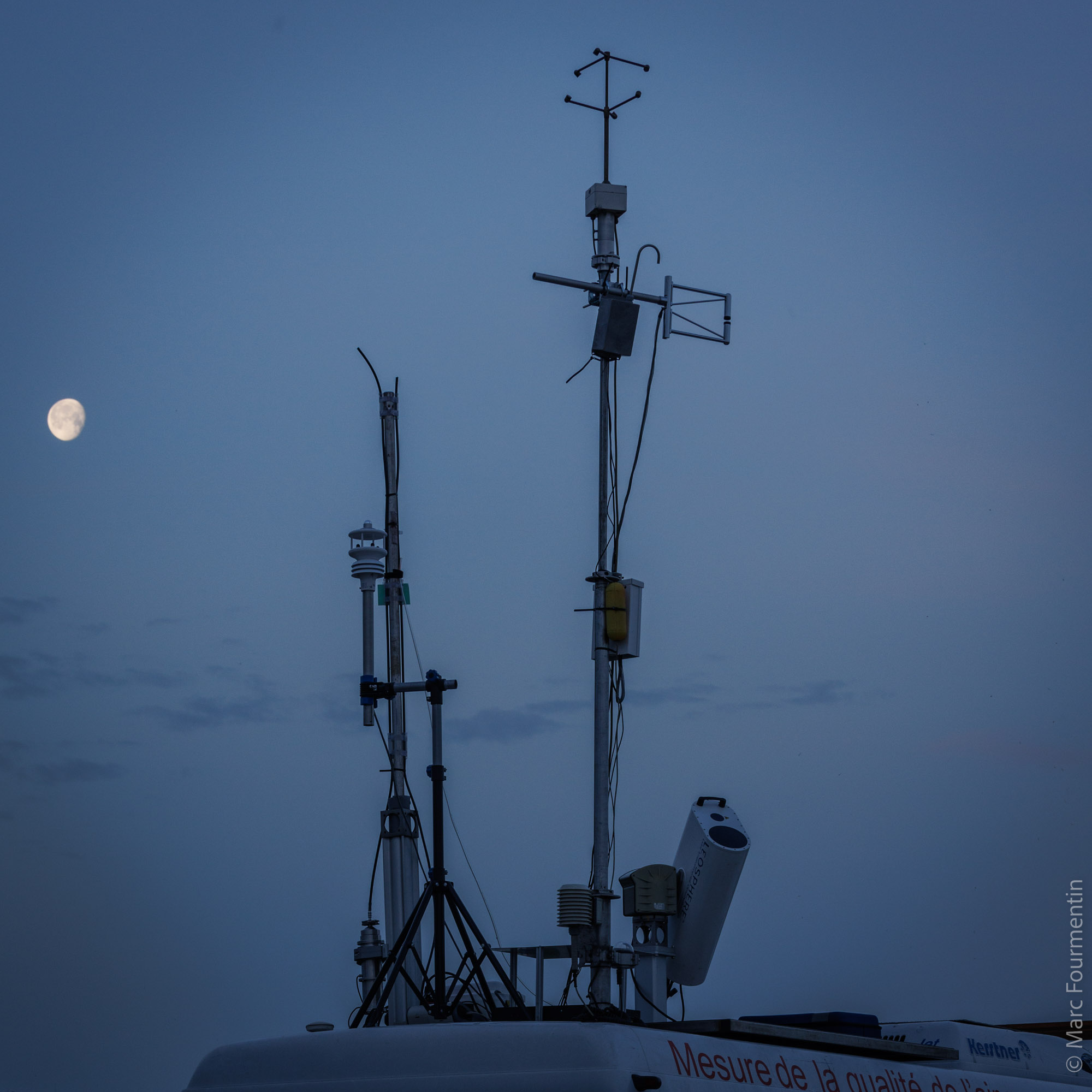
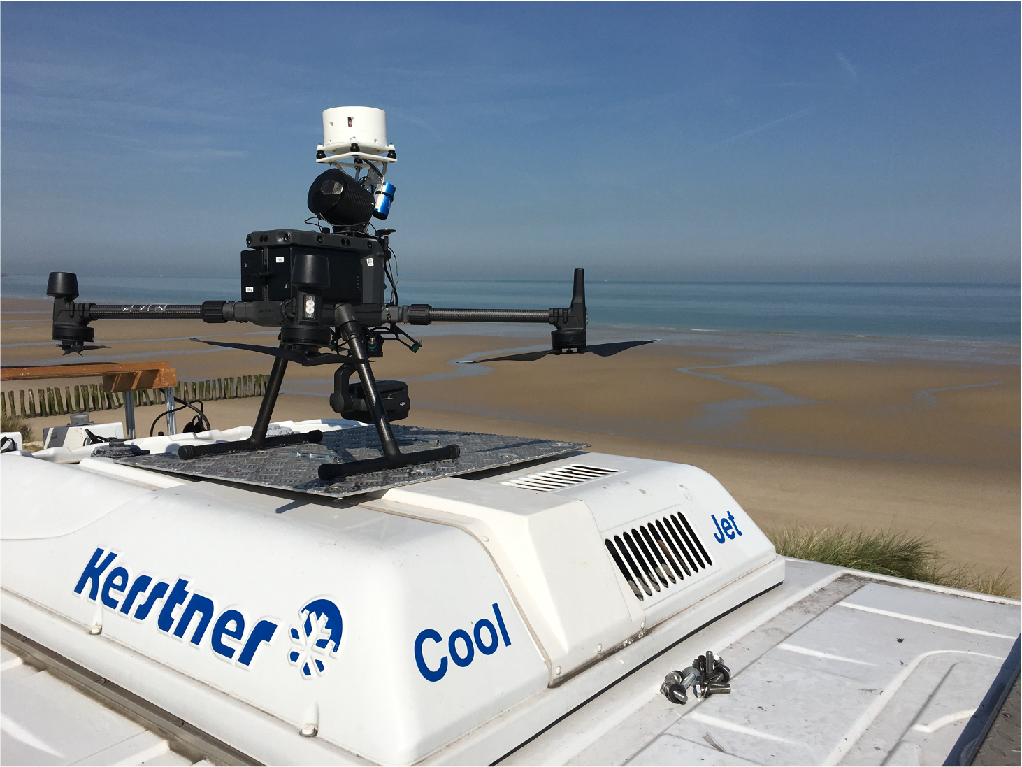
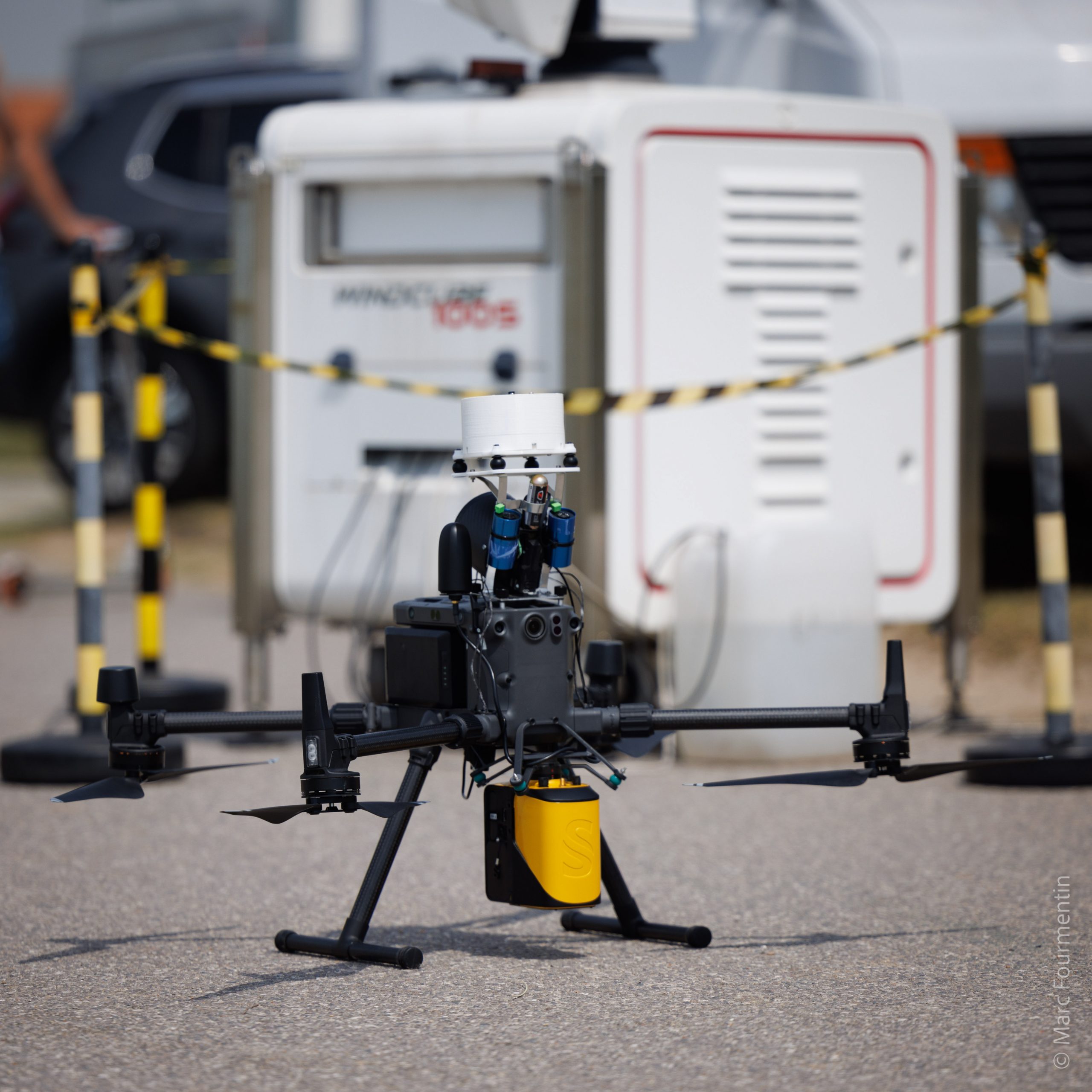
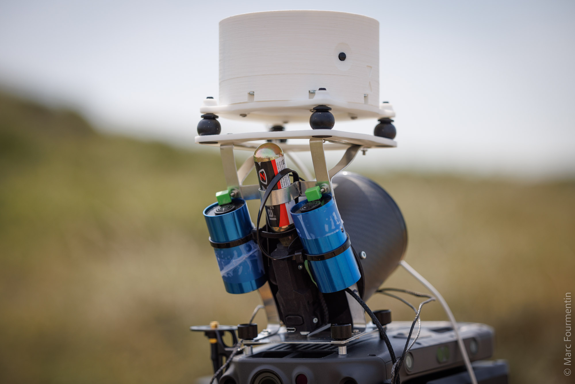
• Dynamics of the atmosphere
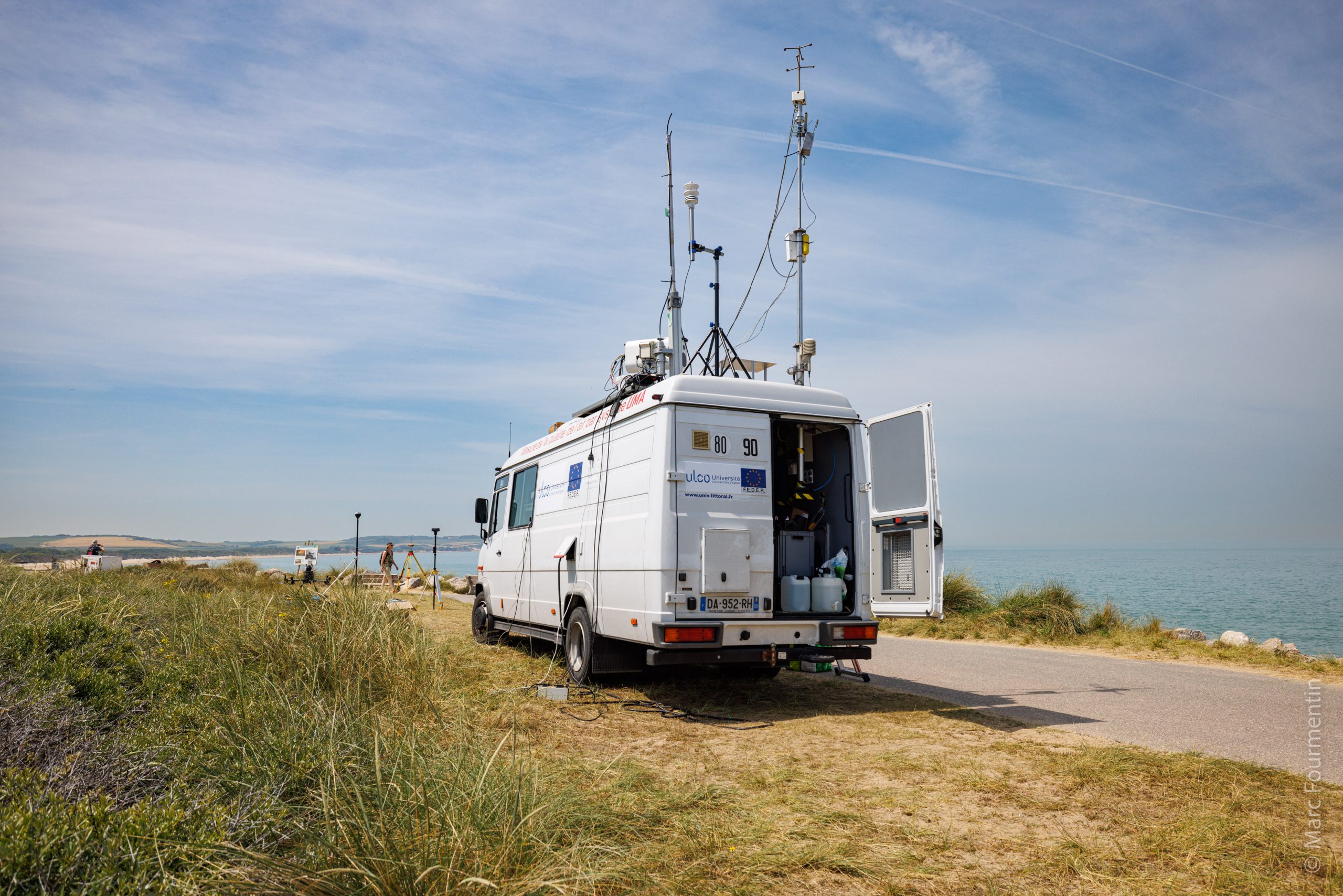
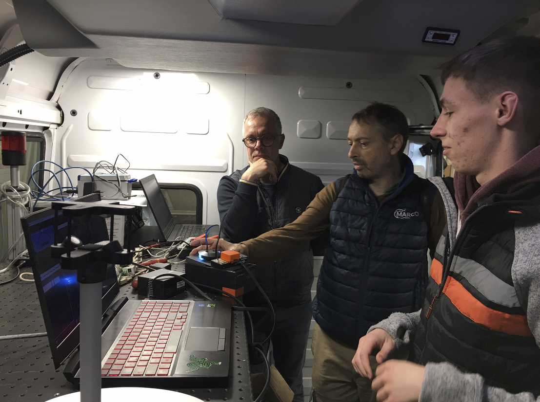
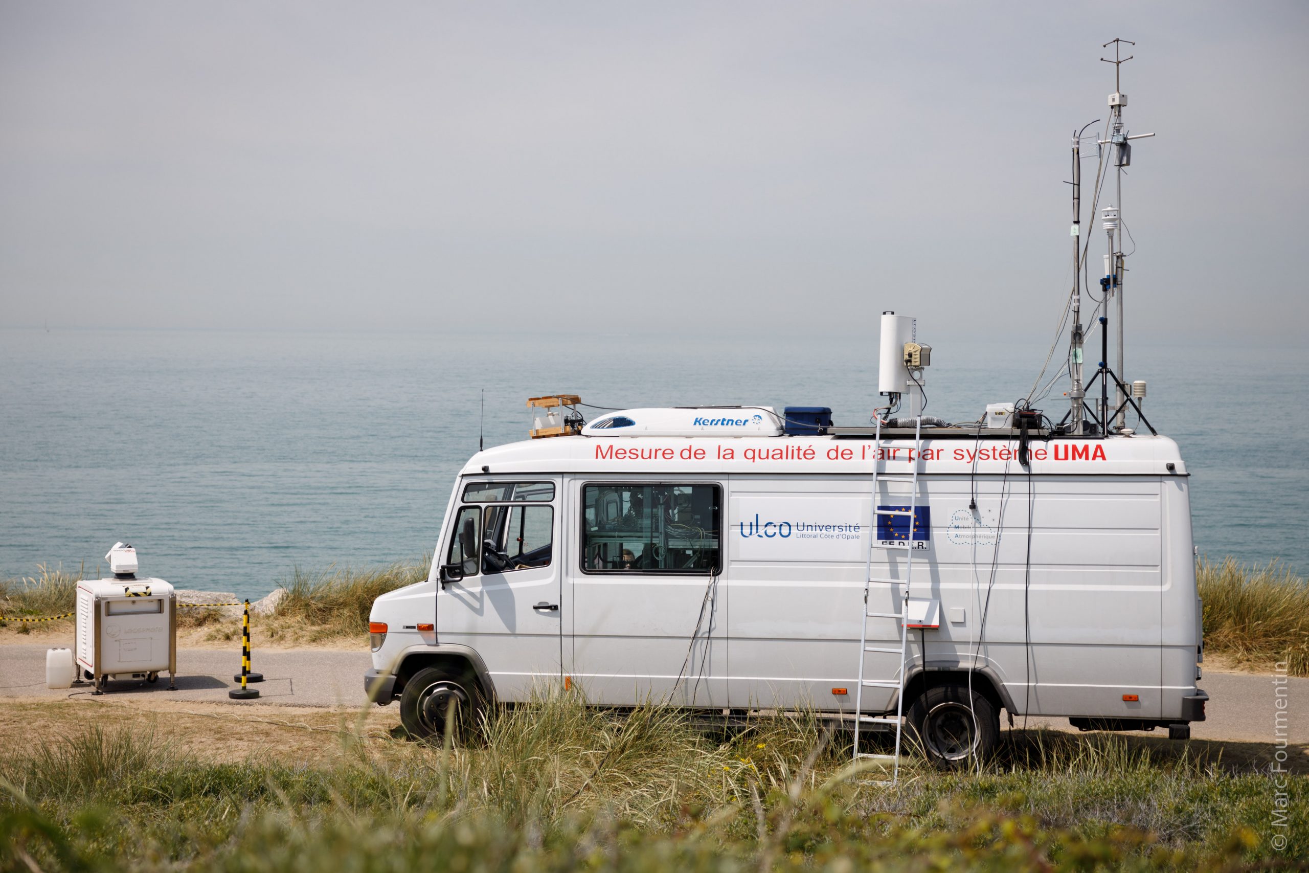
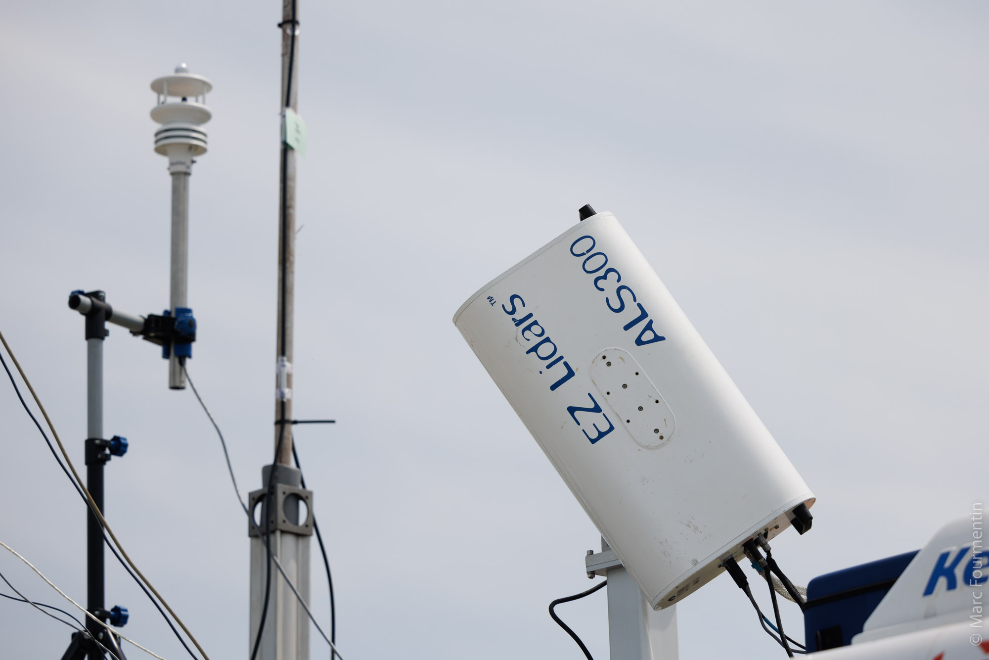
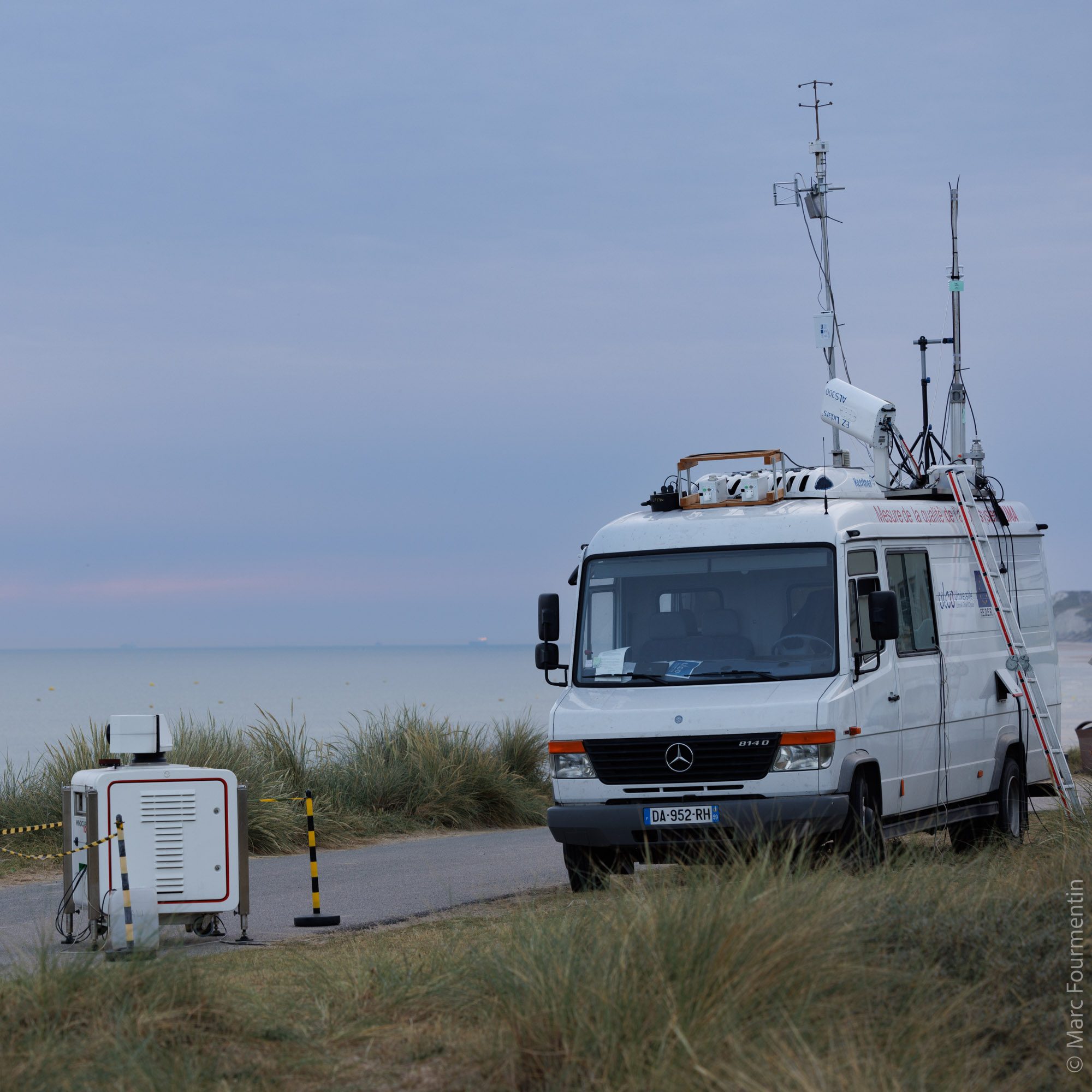
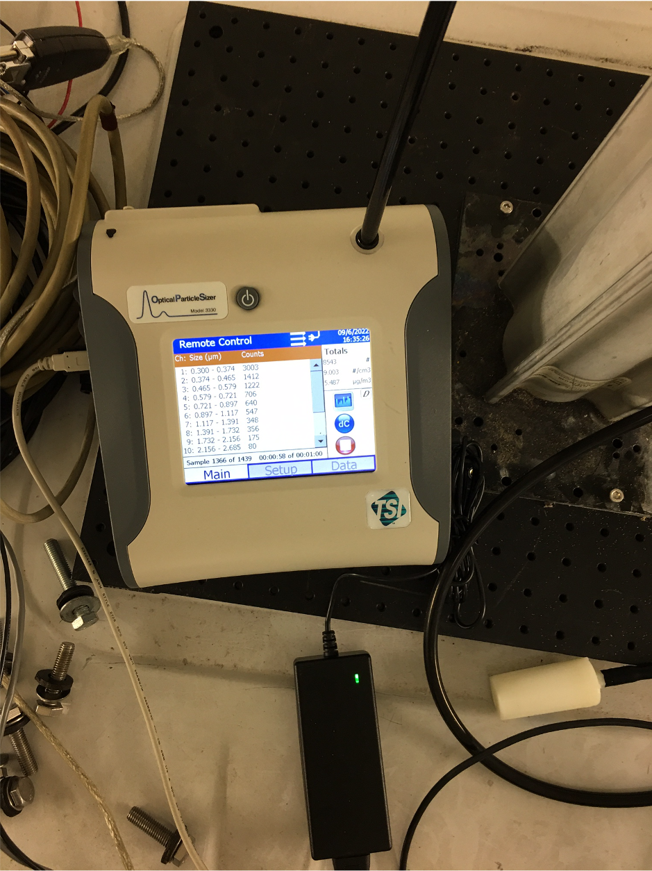
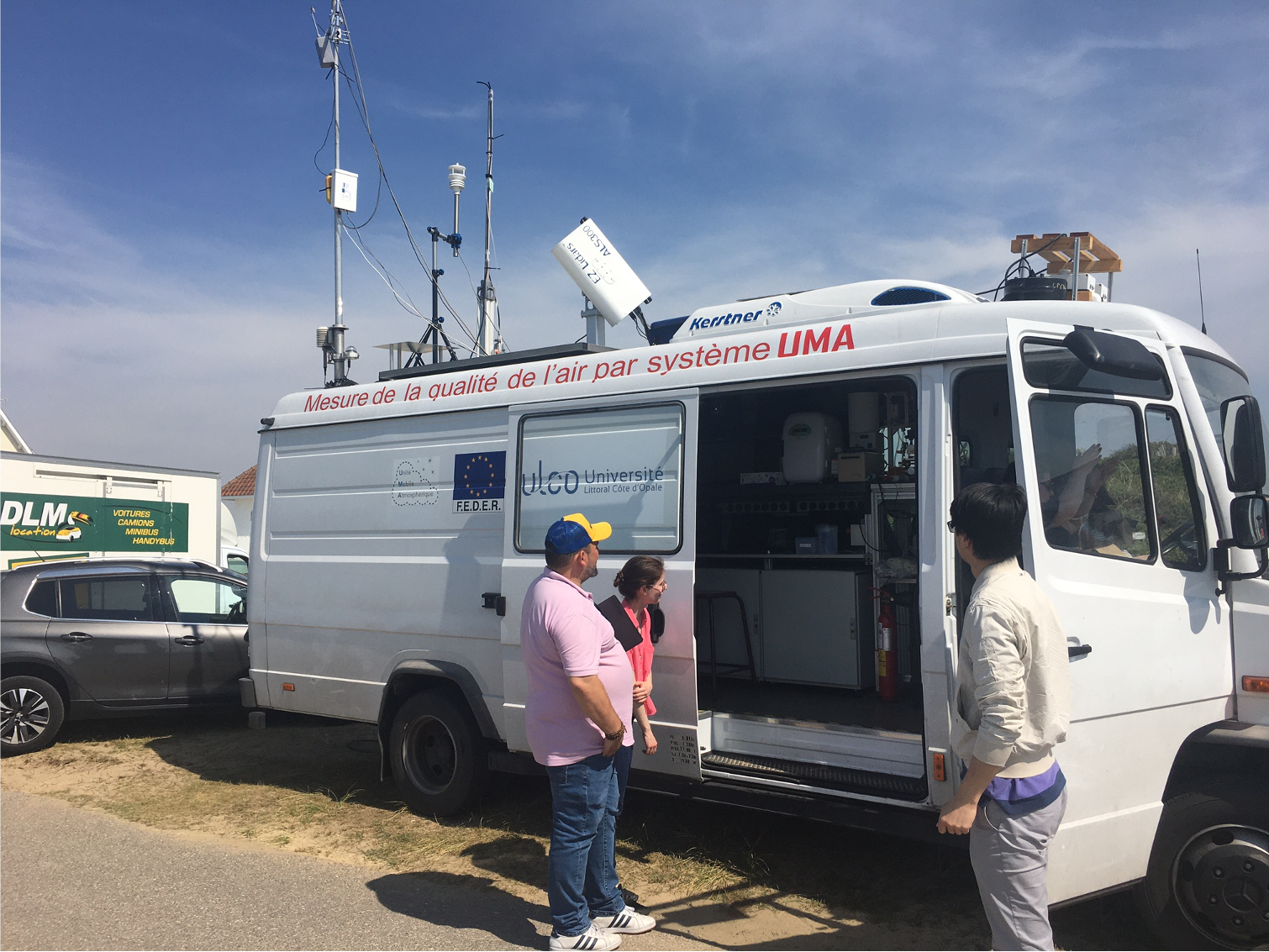
• Air quality measurement
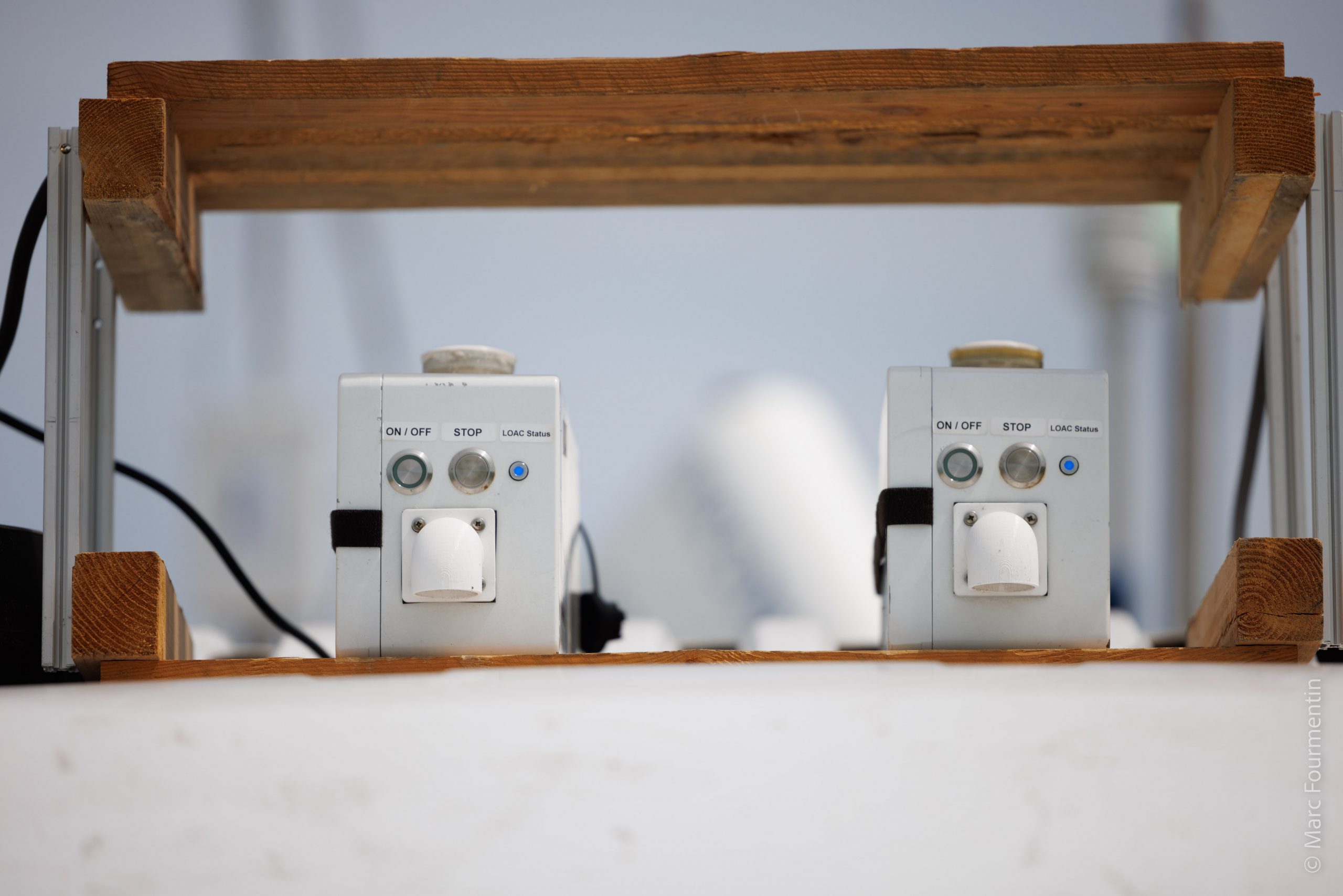
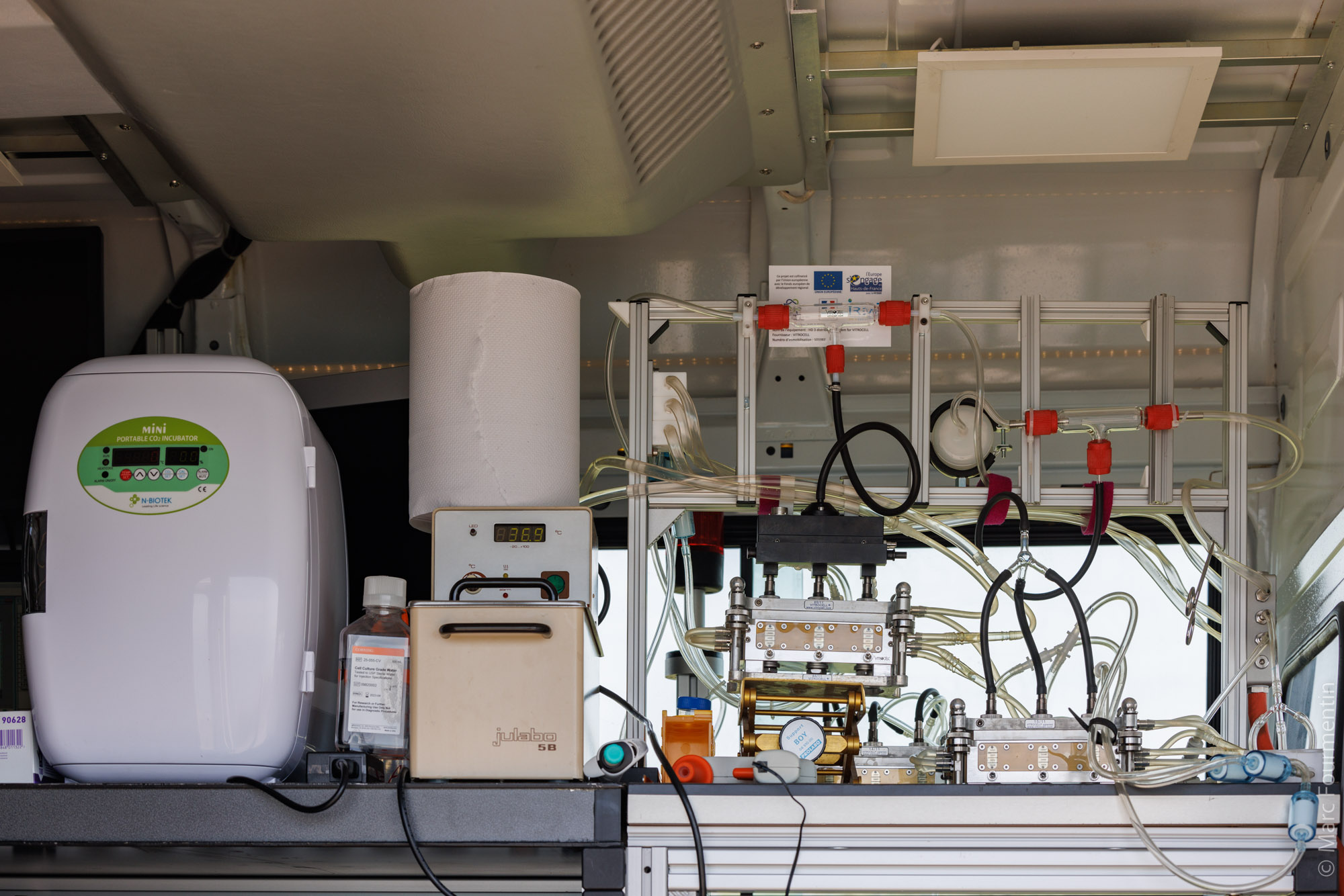
• Environmental toxicology