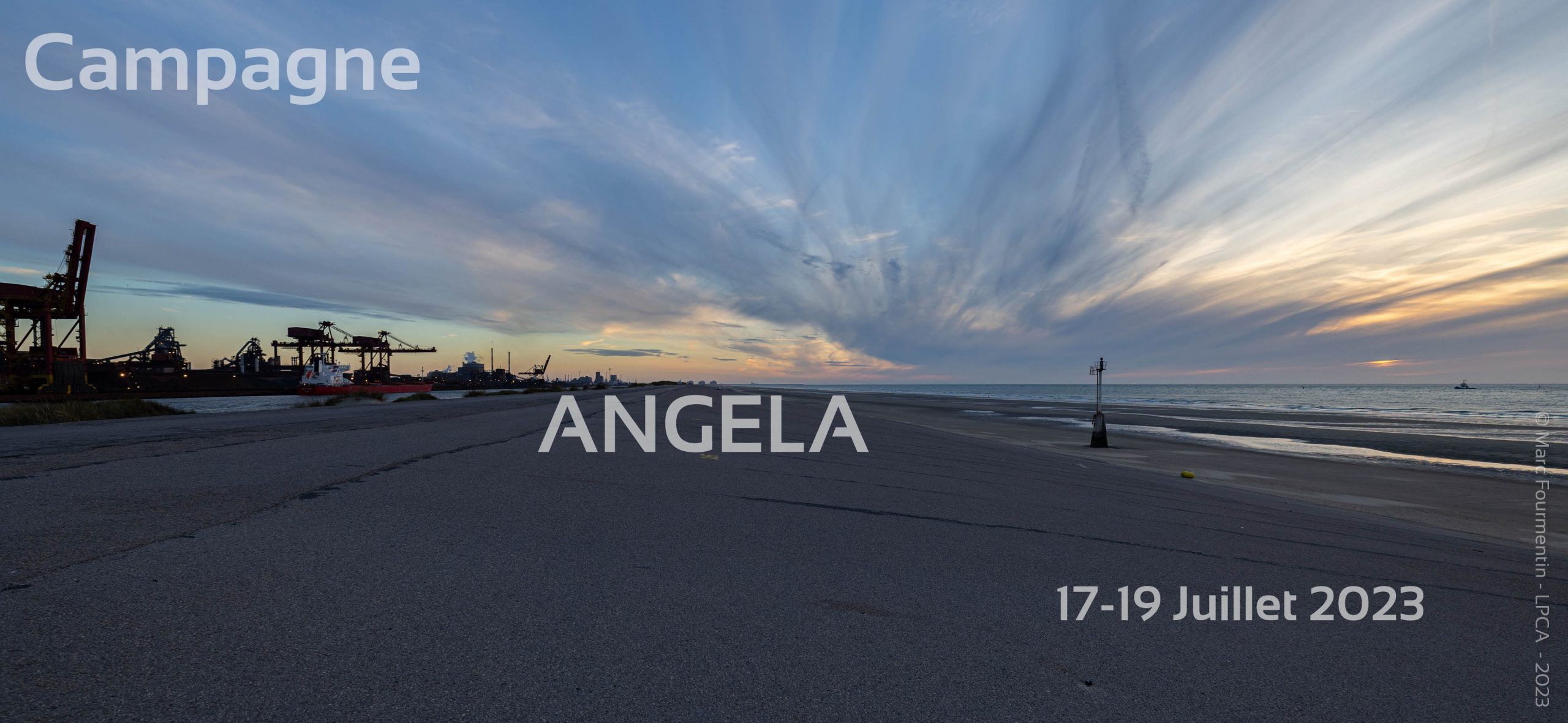
As part of the Coastal Gravity Current Analysis ( ANalyse du courant de GravitÉ du LittorAl – ANGELA) research project, co-financed by the SFR Campus de la Mer and the MTE Research Center, the LPCA deployed, in cooperation with the Grand Port Maritime de Dunkerque, the Mobile Atmospheric Unit (UMA) on the Digue du Braek site in Dunkirk (figure 1).
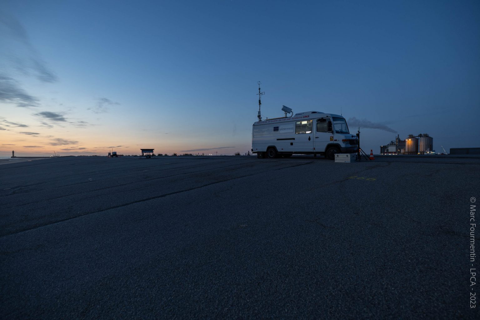
Figure 1 : Deployment of the Mobile Atmospheric Unit on the Braek dyke site, in cooperation with the Grand Port Maritime de Dunkerque
Indeed, the weather conditions were favorable from July 17 to 19 in order to carry out multidisciplinary scientific experiments linked to the sea breeze. The ANGELA project aims to fill the knowledge gap linked to the combined influence of atmospheric parameters and physical oceanographic studies leading to the development of sea breezes in coastal areas influenced by their geomorphology. Thus, knowledge of atmospheric parameters combined with physical oceanographic parameters is essential to better understand the ANALYSIS of the Coastal Gravity Current in order to better assess its impact, in particular, on air quality and implicitly on the production of wind power.
For this, scientific instruments were deployed during this targeted field campaign, for example (Figure 2) at the Mobile Atmospheric Unit (UMA):
– a 3D ultrasonic anemometer for high-frequency wind measurement of turbulence parameters (UMA mast figure 2),
– a high frequency hygrometer for measuring humidity variability (UMA mast figure 2),
– a scanning aerosol lidar for the study of the optical properties of aerosols, the atmospheric and marine boundary layer,
– an Infrared camera for measuring the apparent temperature of the intertidal zone and the sea,
– a cascade impactor for sampling aerosols in order to determine their elementary chemical composition by analytical microscopy,
– Apolline, ENVEA and Q AIR gaseous and particulate pollutant sensors.
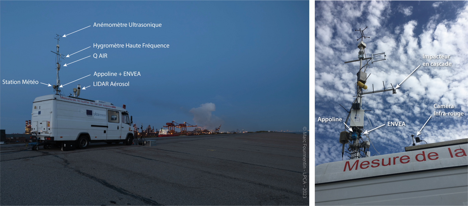
Figure 2 : UMA instrumentation
Other scientific instruments have been deployed around the UMA to complement ground measurements:
– a “SODAR” acoustic wind profiler for measuring wind at altitude,
– a high frequency ground weather station
– a weather station mounted on the ANA drone (figures 3)

Figure 3 : Hovering flight of the ANA drone in comparison mode with the sensors located at the UMA mast
– the Apolline, ENVEA and ANGIE gaseous and particulate pollutant sensors mounted on the ANA drone (figure 4),

Figure 4: The ANA drone equipped with gaseous and particulate pollutant sensors and a weather station
– the gaseous and particulate pollutant sensors N3, Apolline, ENVEA mounted on the POLY drone (figure 5),
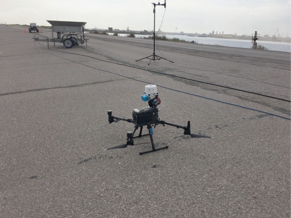
Figure 5 : The Poly drone equipped with gaseous and particulate pollutant sensors
– an Acoustic Doppler Current Profiler (ADCP) type current meter to measure physical oceanographic parameters at sea (figure 6).
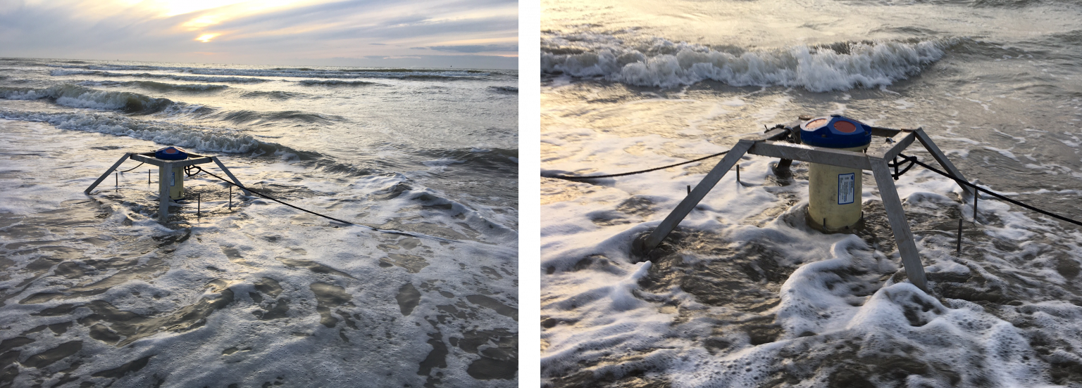
Figure 6 : Installation of ADCP during low tide
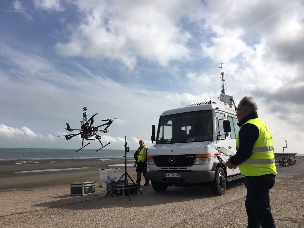
Figure 7 : Takeoff of ANA by Eddie JOUAN (Chief instructor of the ANA drone and elite remote pilot) during the period of intensive observation of scientific experiments

Figure 8 : Co-located measurements of ANA, POLY and UMA drones
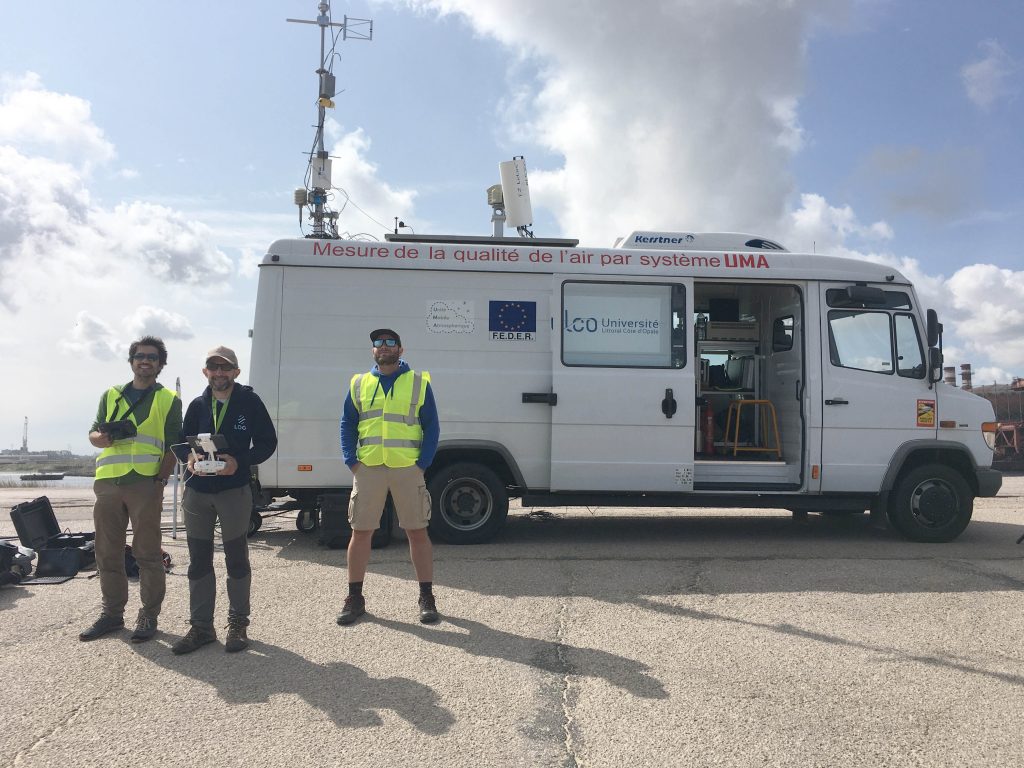
Figure 9 : The ANGELA project promotes the decompartmentalization of people’s skills in their area of expertise
